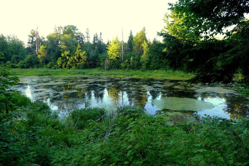
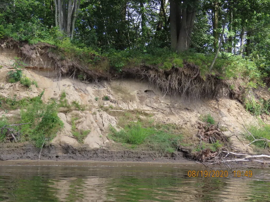
In collaboration with the Ndakina Office, the Wôlinak Environment and Land Office as well as watershed organizations (GROBEC and COGESAF), our team participated in monitoring bank erosion on the Saint-François River. This project aims to monitor the erosion of areas with high archaeological potential along the Saint-François and Bécancour rivers.
Erosion phenomena can have impacts on water quality, fish habitats and consequently on the practice of activities by members. Likewise, several places located on the banks of these rivers are important in terms of archaeological and cultural heritage.
This study will make it possible to determine whether there are actions to be taken in the most problematic areas with local stakeholders. It will make it possible to identify the measures to be put in place to adapt to this new reality which will become more pronounced with climate change.
